Home >
Century 21 World's Fair >
You thought you knew
JackGordon.org
The World's Fair Like You've Never Seen it Before
So you think you know what the World's Fair -- Seattle's
Century 21 -- looked like? And therefore what today's Seattle Center's layout
is? Well, read on.
Hiding in
one of Jack Gordon's file cabinets in a drawer labeled "correspondence" were these
nine drawings. There was nothing in the file
folder describing them or their source and nothing stamped or printed on the
reverse giving a credit to anyone. Aside from their obvious pre-Century 21
dating, I have no idea from whom or where they originated. Presented here in the
order in which they had been stored for close to 50 years are these "Futuristic Previews
of Century 21."
Jack Gordon was appointed a consultant to the U.S.
Department of Commerce by the Kennedy Administration for preparation of the
Seattle World's Fair. He created and implemented the idea of the Plaza of the
States and served as Plaza Coordinator for Washington's Gov. Albert D. Rosellini.
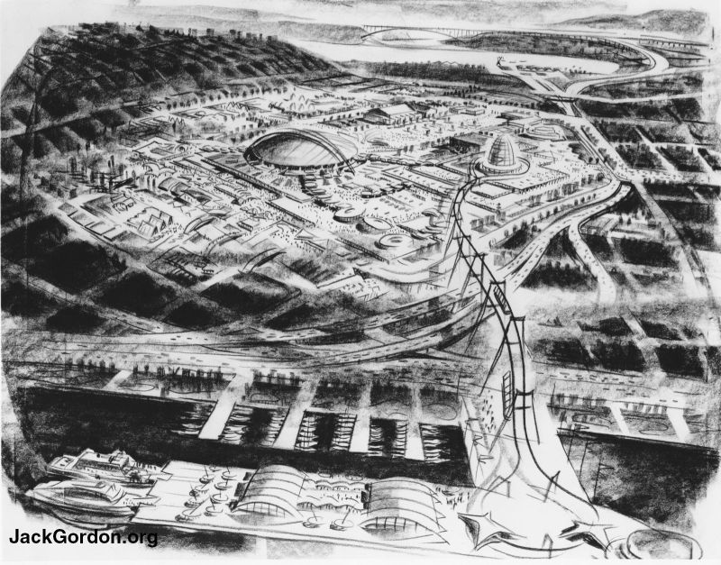
We start this tour with an interesting view of the potential World's Fairgrounds that,
like several other drawings below, plays around with perspective and geography.
Don't bother looking for the freeway. Remember, this was
a Seattle with no I-5, no
520 Floating Bridge. The Alaskan Way viaduct along
Seattle's downtown waterfront wasn't even 10 years old. (And yes, Jack Gordon
was involved in commemorating its opening). The
main way in and out of the city was Aurora Avenue (Highway 99). The Aurora
Bridge in the far distance celebrated its 30th Birthday a couple of months
before the Seattle World's Fair opened.

The domed building appears where the Coliseum (home of the Seattle University
Redhawks, formerly known as the Chieftains) now sits. That looks like the International Fountain
at the end of the walkway. That would put us east of the Coliseum and ready to
walk through what ended up the Plaza of the States. How very fitting. The egg shaped object to the left
turned into the Space Needle. And the artist liked balloons. I date these
drawings as from 1959-early 1960, because of a September, 1960, article by
Stanton Patty in the Seattle Times that describes and illustrates a tall
500-foot "Space Needle."
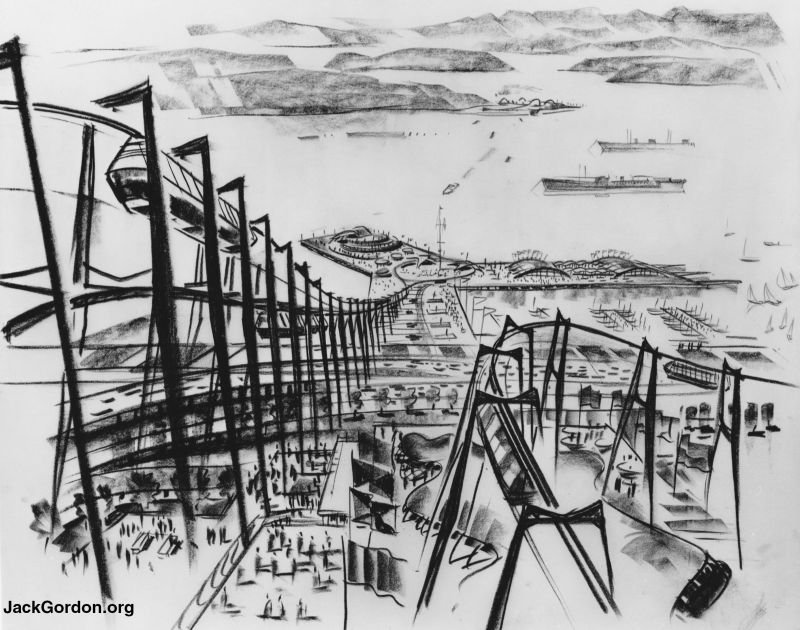
Like something out of an Escher drawing. I think I prefer the way the
Monorail ended up. Tying in Seattle's maritime heritage with the World's Fair
was a common theme in these drawings.
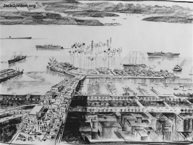
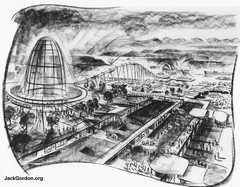
Here's another, quieter view showing the potential water aspect of the Fair. The balloons
show up again. It appears that the
pavilions and displays are on top of a wide (100 foot?) platform that projects
over the streets and runs down to Elliott Bay.
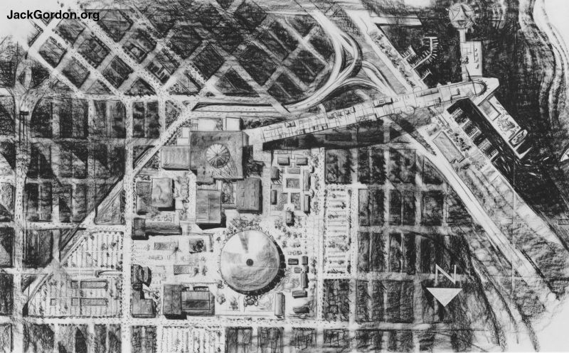
This picture shows an "overhead view" of a Fairgrounds in almost
exactly the same
place as Century 21 ended up with the long platform heading west to Elliot Bay.
The "Coliseum" is round and the "Space Needle" is short and square. It
looks like there's no Memorial Stadium, but I'm not sure.
From the "map" in the previous picture, we that the egg shaped building above is
located where the Space Needle ended up. It looks like the end or beginning of
some kind of transportation or ride.
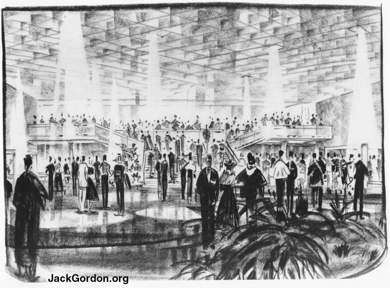
It looks like a cocktail party from an early episode of "Mad Men."
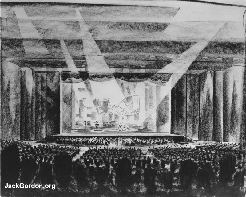
Possibly the early idea of the Opera House?
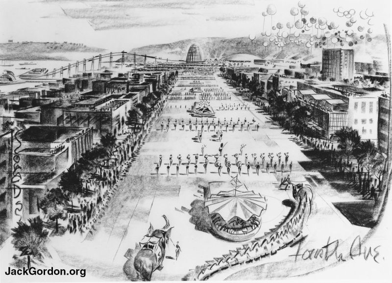
We end looking north along Seattle's Fourth Avenue from maybe Virginia or Lenora
Streets. The egg shaped structure stayed where today's Space Needle ended up. Note the balloons. Someone sure liked balloons.
You are at JackGordon.org,
a salute to John F "Jack" Gordon, Mr. Seattle
Copyright © 2002-2022 John R. Gordon